

You are here
Characteristics of a Region Resource Set
Characteristics of a Region Resource Set
The resource set includes additional sources to accompany the Primary Source Set and Lesson Ideas to help extend lessons and further student understanding. Primary Source Analysis Worksheets are available on the Elementary Primary Source Sets main page.
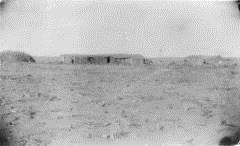
First home of Mrs. Margaret Schneider, Seibert, CO, c. between 1889-1900 (Photo)
View of sod buildings identified as a sod barn and a sod house in Seibert (Kit Carson County), Colorado. Shows a fence, a haystack, a one-story barn, a house with a low-pitched roof, and a timber arch over what is identified as a water well.
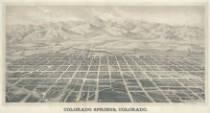
Birds eye view of Colorado Springs, Colorado, c. 1888 (Photo)
Birds eye view (perspective map) includes buildings, railroad lines, street names.
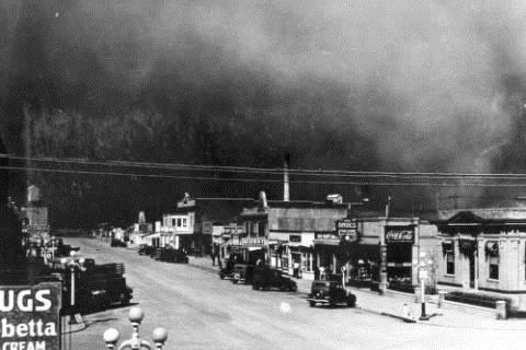
Dust storm, c. 1934 (Photo)
A dust storm engulfs the town of Burlington, Colorado (Kit Carson County). Cars are parked on unpaved Main Street in front of the town's commercial storefronts. A grain elevator is at the end of the street.
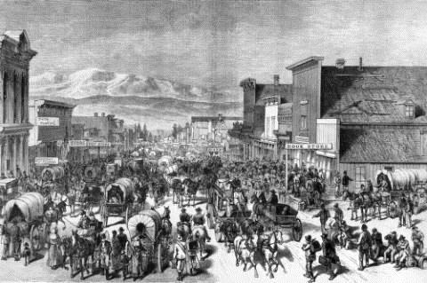
Rendering shows Chestnut Street in Leadville, Lake County, Colorado, with men, women, children, dogs, covered wagons, stagecoaches, and buckboards.
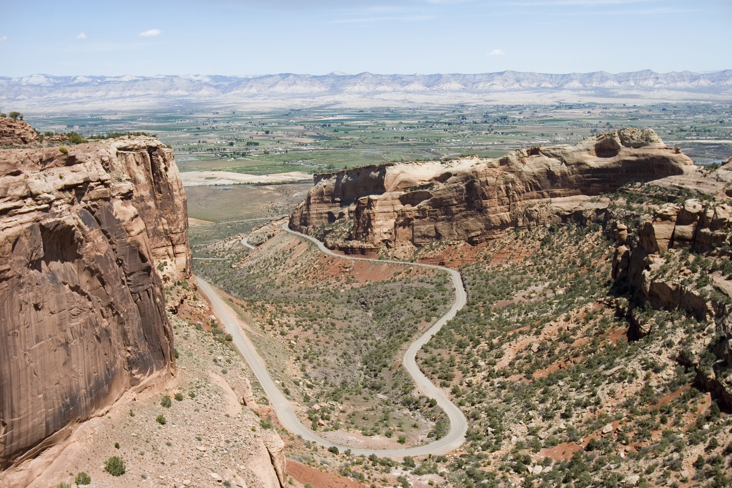
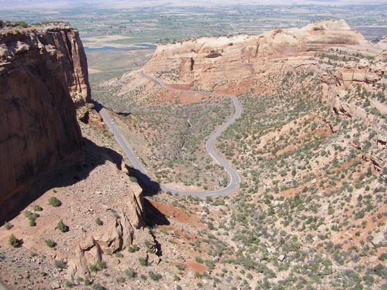
A winding road through a canyon on the Western Slope, near Fruita (Photo)
This image shows part of the Grand Mesa and part of Colorado National Monument.
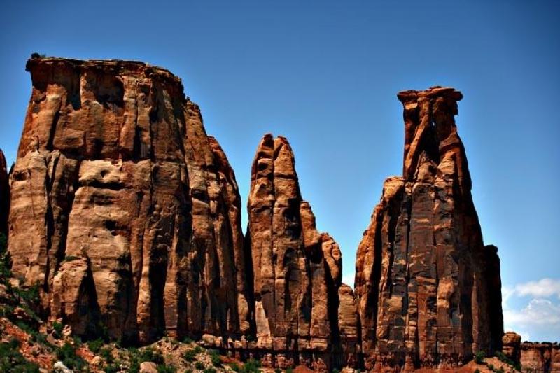
This image shows the Monoliths at Colorado National Monument - Courtesy of the National Parks Service.
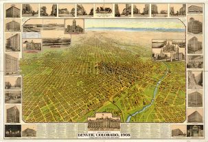
Bird's eye view of Denver, Colorado, 1908 (Poster)
This image includes a bird’s eye view of the city of Denver and highlights specific buildings around the city.
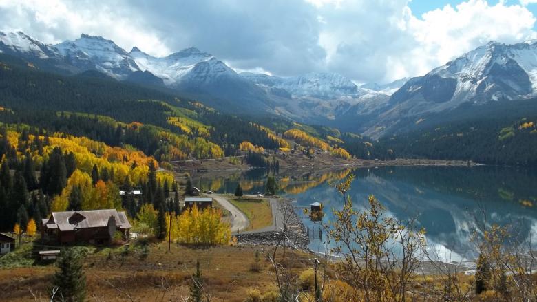
This image shows Dolores Colorado and the surrounding mountains in the SW corner of the state.
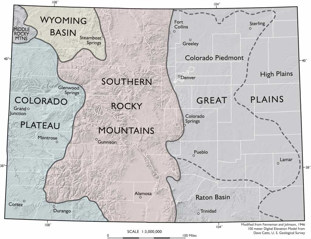
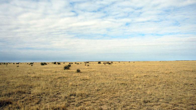
This map from the Colorado Geological Survey shows the 5 main physiographic regions of Colorado.
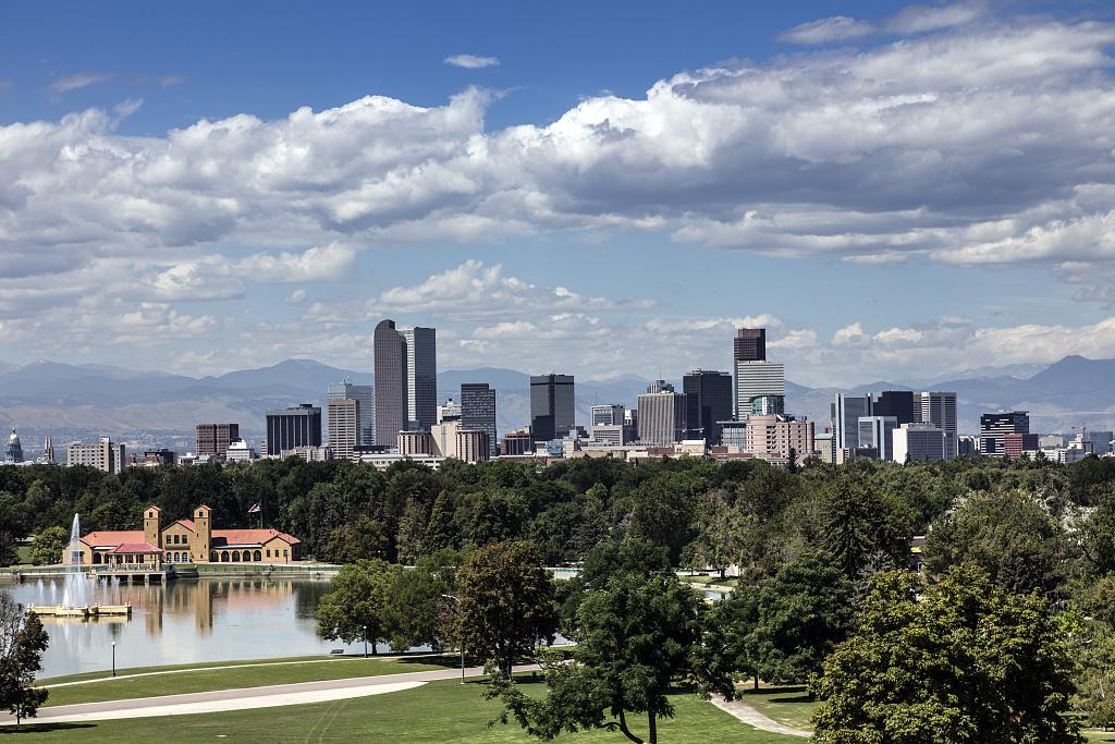
Downtown Denver Skyline (Photo)
The skyline of Denver, Colorado, across Ferril Lake in City Park, from the Anschutz Family Sky Terrace at the Denver Museum of Nature & Science. Photograph courtesy of the Library of Congress.
Financial information on schools and districts throughout Colorado. Learn more about financial transparency.
Colorado Dept. of Education
201 East Colfax Ave.
Denver, CO 80203
Phone: 303-866-6600
Contact CDE
CDE Hours
Mon to Fri, 8 a.m. to 5 p.m.
See also Licensing Hours
UPDATED
March 24, 2025
Copyright © 1999-2025 Colorado Department of Education.
All rights reserved.
Title IX.
Accessibility.
Disclaimer.
Privacy.

Connect With Us


